
Admin. region Düsseldorf Elevation 15 m (49 ft) Area 43.48 km² Local time Friday 10:34 PM Administrative region Düsseldorf | District Wesel Time zone CET/CEST (UTC+1/+2) Population 27,579 (31 Dec 2010) Postal code 47506 | |
 | ||
Weather 9°C, Wind NE at 13 km/h, 60% Humidity Points of interest Museum u. Archiv Kulturhalle, Rayener Mühle, Historische Mühle | ||
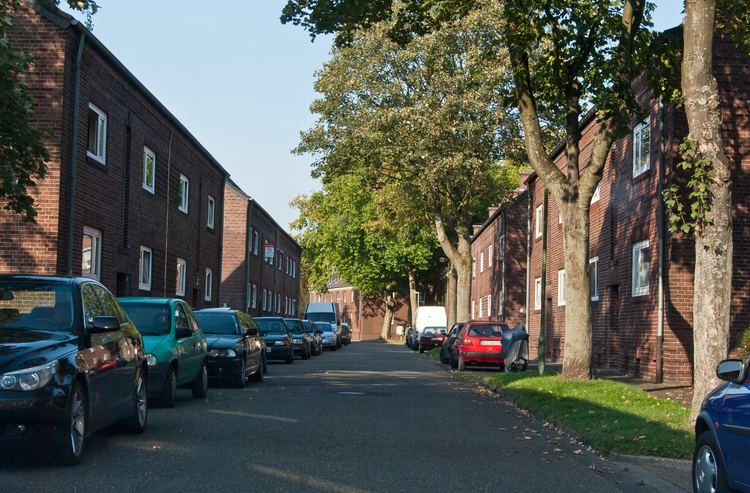
Neukirchen-Vluyn ( [nɔʏˈkɪʁçənˈflyːn]) is a town in the district of Wesel, in North Rhine-Westphalia, Germany. It is situated approximately 5 km west of Moers, and 15 km north of Krefeld.
Contents
- Map of Neukirchen Vluyn Germany
- Mayors
- Population development
- International relations
- Born in Neukirchen Vluyn
- Connected to Neukirchen Vluyn
- References
Map of Neukirchen-Vluyn, Germany
Mayors
Mayors since 1836:
Population development
Number of inhabitants as of December, 31
International relations
Neukirchen-Vluyn is twinned with:
Mills, typically to those found in the Netherlands, from the 18th and 19th century, colonies of cole minings as well as the water castle Bloemersheim are witnesses of Neukirchen-Vluyn's history. Historical city tours and the local museum display the influence of agriculture and mining on the development of the town. The museum is located in the cultural hall "Kulturhalle", where one can enjoy exhibitions of art and live music on a regular basis. The classical concerts in the courtyard of the castle are further a constant in Neukirchen-Vluyn's entertainment schedule. For recreation, the town offers various trails for horseback riding and hiking as well as a golf court. For more information on Neukirchen-Vluyn visit: http://www.neukirchen-vluyn.de/