
OS grid reference NY602631 Sovereign state United Kingdom | Civil parish Nether Denton Dialling code 016977 | |
 | ||
Population 415 (2011 (including Upper Denton)) | ||
Nether denton scotsman 1080
Nether Denton is a scattered settlement and civil parish in rural Cumbria, situated about 12 miles (19 km) north-east of Carlisle, by the A69 road. The population of the parish taken at the 2011 census was 415.
Contents
Map of Nether Denton, UK
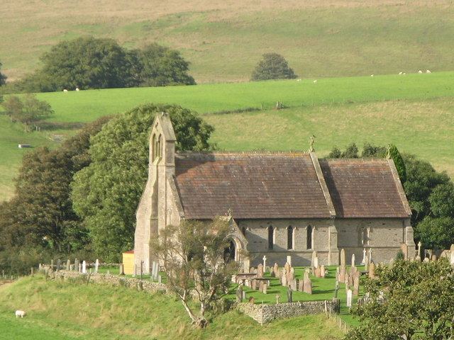
St. Cuthbert's Church at Nether Denton is built at the site of a Roman fort, around 0.5 miles (0.80 km) south of Hadrian's Wall on the Stanegate road. The present building dates from 1868-70, but there has been a church on the site since the 12th century. Denton Hall, now a farmhouse, comprises a 14th-century pele tower, gabled and reduced in height, adjoining a house of 1829. The walls of the tower are 2m thick.
References
Nether Denton Wikipedia(Text) CC BY-SA