
Basin size 195 km (75 sq mi) Basin area 195 km² | Length 28 km | |
 | ||
Main source Monte Pietravecchia1,900 m (6,200 ft) Discharge Average rate:2.64 m/s (93 cu ft/s) | ||
The Nervia is a 28.3-kilometre (17.6 mi) stream of Liguria (Italy).
Contents
- Map of Torrente Nervia Province of Imperia Italy
- Geography
- Main tributaries
- Nature conservation
- References
Map of Torrente Nervia, Province of Imperia, Italy
Geography
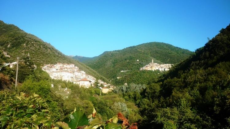
The river rises near Monte Pietravecchia, in the Ligurian Alps, and flows through the Valle Nervia mainly heading south. It passes through the communes of Pigna and Isolabona; around one km before Dolceacqua it receives from right the Barbaira, its most important tributary. After Camporosso and enters the Ligurian Sea between Ventimiglia and Vallecrosia.
Nervia basin (195 km2) is almost totally included in the Province of Imperia, besides 3.5 km2 belonging to France and located in its upper part.
Main tributaries
Nature conservation
The mouth of the Nervia and its surrounding area are included in a SIC (Site of Community Importance) of around 44 ha called Torrente Nervia (code IT1315719); Monte Pietravecchia too, at the sources of the stream, is included in a SIC called Monte Toraggio - Monte Pietravecchia (cod. IT1315421).