
Country United States Time zone Pacific (UTC-8) Elevation 3.35 m Zip code 97131 Area code 503 | Incorporated 1889 FIPS code 41-51700 Area 62 ha Population 267 (2013) Local time Thursday 6:47 AM | |
 | ||
Weather 7°C, Wind SE at 10 km/h, 83% Humidity | ||
Why the revolution will start in rural nehalem oregon an interview with micah white
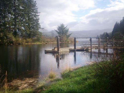
Nehalem /niːˈheɪləm/ is a city in Tillamook County, Oregon, United States. Incorporated in 1889, the city is on the Nehalem River at Nehalem Bay of the Pacific Ocean. It is bisected by U.S. Route 101. The population was 271 at the 2010 census.
Contents
- Why the revolution will start in rural nehalem oregon an interview with micah white
- Map of Nehalem OR 97131 USA
- History
- Geography
- 2010 census
- 2000 census
- References
Map of Nehalem, OR 97131, USA
History
Nehalem was named for the Nehalem Indians. They were also known as the Tillamook.
Nehalem was once a thriving logging community, but with the decline of the logging industry, the local economy has declined. The city used to stretch over the river on log planks, where a lumber mill cut logs that came down a railroad track on the Nehalem River. Wood pilings that held up this track can be found in the North Fork Nehalem River. On the front of Nehalem Elementary school is a facade which says "Union High School" from when the area was more populous and could support an elementary school and a high school. Currently there is an elementary school and a community pool/center run by the North County Recreation District which hosts a number of classes including those for Tillamook Community College.
The city suffers occasional floods. The flood of 1997 in particular was severe; especially to dairy farms.
The Portland band Everclear has a song, "Nehalem", about life in the town, on its Sparkle and Fade album .
Nehalem was location for the HGTV Dream Home contest in 2000 in which a contestant won a furnished home and an automobile.
Geography
According to the United States Census Bureau, the city has a total area of 0.24 square miles (0.62 km2), all of it land.
The business district runs one block along Highway 101 with the Nehalem River alongside. All the buildings are raised to avoid flooding from the river. Nehalem has one traffic signal.
2010 census
As of the census of 2010, there were 271 people, 116 households, and 72 families residing in the city. The population density was 1,129.2 inhabitants per square mile (436.0/km2). There were 155 housing units at an average density of 645.8 per square mile (249.3/km2). The racial makeup of the city was 93.0% White, 0.4% Native American, 1.1% Asian, 3.0% from other races, and 2.6% from two or more races. Hispanic or Latino of any race were 5.9% of the population.
There were 116 households of which 20.7% had children under the age of 18 living with them, 46.6% were married couples living together, 11.2% had a female householder with no husband present, 4.3% had a male householder with no wife present, and 37.9% were non-families. 25.0% of all households were made up of individuals and 10.4% had someone living alone who was 65 years of age or older. The average household size was 2.34 and the average family size was 2.78.
The median age in the city was 44.2 years. 16.2% of residents were under the age of 18; 10.3% were between the ages of 18 and 24; 24.3% were from 25 to 44; 27.6% were from 45 to 64; and 21.4% were 65 years of age or older. The gender makeup of the city was 47.2% male and 52.8% female.
2000 census
As of the census of 2000, there were 203 people, 84 households, and 58 families residing in the city. The population density was 860.6 people per square mile (326.6/km²). There were 121 housing units at an average density of 513.0 per square mile (194.7/km²). The racial makeup of the city was 98.03% White, and 1.97% from two or more races. Hispanic or Latino of any race were 1.48% of the population.
There were 84 households out of which 25.0% had children under the age of 18 living with them, 56.0% were married couples living together, 10.7% had a female householder with no husband present, and 29.8% were non-families. 22.6% of all households were made up of individuals and 9.5% had someone living alone who was 65 years of age or older. The average household size was 2.42 and the average family size was 2.88.
In the city, the population was spread out with 25.1% under the age of 18, 4.4% from 18 to 24, 24.1% from 25 to 44, 24.1% from 45 to 64, and 22.2% who were 65 years of age or older. The median age was 42 years. For every 100 females there were 107.1 males. For every 100 females age 18 and over, there were 94.9 males.
The median income for a household in the city was $40,250, and the median income for a family was $47,679. Males had a median income of $30,000 versus $27,813 for females. The per capita income for the city was $15,408. About 9.0% of families and 7.7% of the population were below the poverty line, including 5.5% of those under the age of 18 and 3.0% of those 65 or over.