
Existed: 1926 – present Length 295.6 km | Constructed 1926 | |
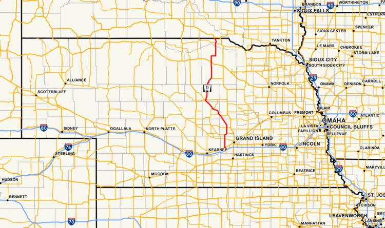 | ||
Nebraska Highway 11 is a highway in central and northern Nebraska. Its southern terminus is at Interstate 80 south of Wood River. Its northern terminus is at the South Dakota border north of Butte. The highway goes through the eastern portion of the Sand Hills.
Contents
Map of NE-11, Nebraska, USA
Route description
Nebraska Highway 11 begins at Exit 300 of Interstate 80, which is also the exit for NE Spur 40D. It goes north through farmland into Wood River, where it crosses over U.S. Highway 30 without an interchange. Access to US 30 is available via Link 40G 0.5 miles (0.8 km) to the north. It continues north through Cairo, then meets Nebraska Highway 58. The two highways are paired together and go northeast to Dannebrog, where they separate. It proceeds north to Elba, then turns northwest on an alignment that parallels the North Loup River. It passes through Ord and Burwell, then turns north after passing Nebraska Highway 91. It continues north into areas of prairie and meets U.S. Highway 20 in Atkinson. It goes north into farmland some more, briefly goes east, then turns north to go through Butte, where it meets Nebraska Highway 12. After a brief concurrency with NE 12, it turns north and goes into South Dakota, where the road continues as South Dakota Highway 43.