
West end: Rameshwar Length 126 km | ||
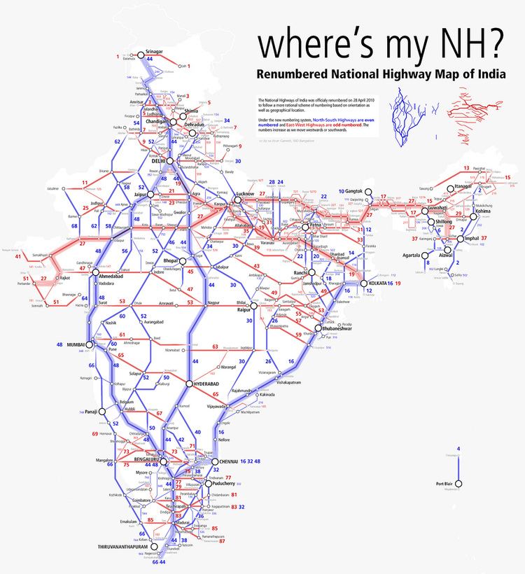 | ||
National Highway 309A, commonly referred to as NH 309A, is a single lane highway connecting the city of Rameshwar to Almora in the Indian State of Uttarakhand.
Contents
Map of NH309A, Uttarakhand
Route
It starts at Rameshwar, at the junction of National Highway 9 (NH 9), and ends at Almora at the junction of National Highway 109 (NH 109). The NH309A lies entirely in Uttarakhand and passes through the Districts of Pithoragarh, Bageshwar and Almora.
The National Highway 309A connects cities and towns of different districts as follows: Rameshwar, Gangolihat, Berinag, Chaukori, Kanda, Bageshwar, Takula, Almora.
National Highway 309B
An Alternate highway, known as National Highway 309B or NH309B also connects the cities of Almora and Rameshwar. It cuts down the travel distance to 66 km by covering a direct route rather than taking the long route of 126 km via Bageshwar.