
District Pithoragarh Time zone IST (UTC+5:30) | Elevation 1,860 m (6,100 ft) Vehicle registration UK | |
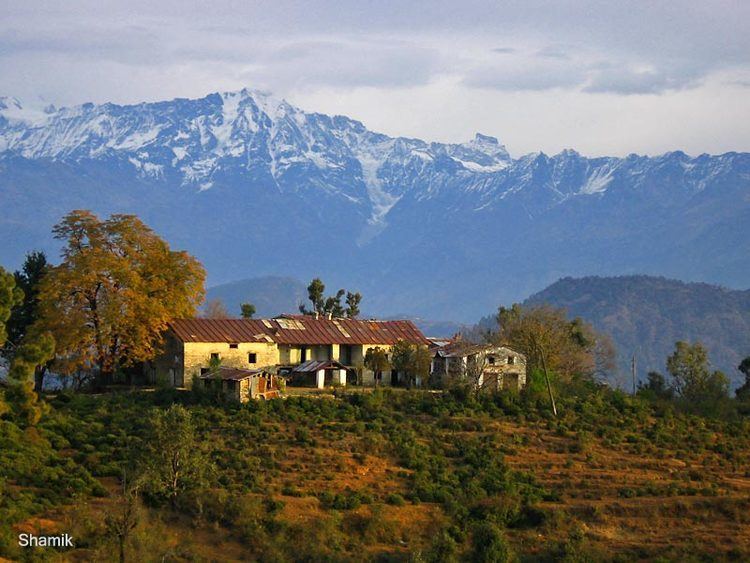 | ||
Berinag, is a hill station, located 12 km from Chaukori in the Pithoragarh district, which is the easternmost Himalayan district in the state of Uttarakhand, India. It is one of the six Administrative Subdivisions (tehsil) of Pithoragarh. It is accessible by road. Closest prominent villages include Garawon, Dhanoli, Bana, Bhattigaon, Banoli,Quarali,Tripuradevi and Sangarh. Previously known as Bedinag, it is famous for the snake temples present here. Berinag offers a panoramic view of the Greater Himalayas, from Garhwal Himalayas to the Nepal ranges, especially lofty peaks like Panchachuli and Nanda Devi. The region is famous for tea estates developed during the British rule.
Contents
Map of Berinag, Uttarakhand 262531
Geography
Berinag is located at 29.80°N 80.07°E / 29.80; 80.07. It has an average elevation of 1,860 metres (6,100 feet).