
 | ||
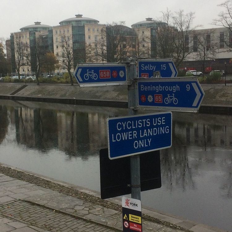
National Cycle Network (NCN) Route 658 is a Sustrans Regional Route. It is 2 miles long. It provides a connection between Route 65 and Route 66 through York city centre. The full length of the route is part of the Way of the Roses. It is fully signed and open.
Contents
Route
NCN 658 starts at Scarborough Bridge on the west bank of the River Ouse. It passes through the historic city walls at Bootham Bar. Passes York Minster, Monk Bar and Merchant Taylors' Hall before crossing the River Foss. It leaves the city centre on the Foss Islands Cycle track. The route ends at Tang Hall Lane where it meets NCN 66. Much of the route is traffic free.
History
The Foss Islands Cycle track runs along the former Derwent Valley Light Railway. Sections of NCN 658 were originally signed as NCN 66. The route was altered and renumbered during the creation of Way of the Roses Challenge Route.
Related NCN Routes
Route 658 meets the following routes:
Route 658 is part of the Way of the Roses along with: