
PIN 263158 Elevation 1,940 m | Time zone IST (UTC+5:30) Vehicle registration UK | |
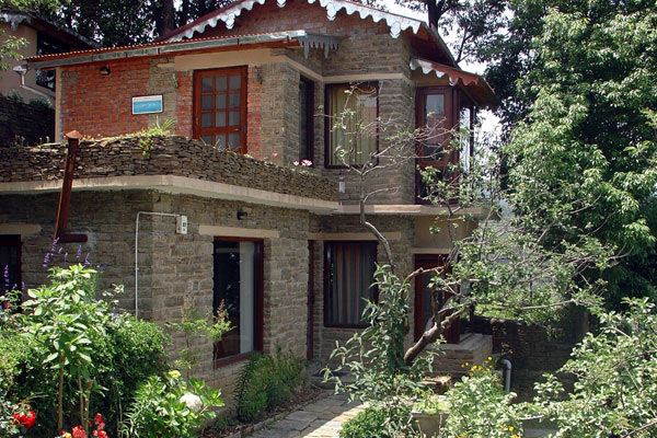 | ||
The indian golden oriole at its best at nathuakhan uttarakhand
Nathuakhan is a village in the Ramgarh block of the Nainital district in the state of Uttarakhand. It is situated at a height of 1940 meters, in the heart of Kumaon Mountains of the central Himalayas, close to the towns of Mukteshwar and Nainital. Also close by are places like Hartola and Ramgarh, all accessible from Nainital and Bhimtal.
Contents
- The indian golden oriole at its best at nathuakhan uttarakhand
- Map of Nathuakhan Uttarakhand
- Geography
- Education
- Religion
- References
Map of Nathuakhan, Uttarakhand
Geography
The village is divided into 12 hamlets which are as follows:
Education
Some schools in and around Nathuakhan are:
Religion
Some of the temples in and around Nathuakhan are:
References
Nathuakhan Wikipedia(Text) CC BY-SA