
Country State | Language spoken District | |
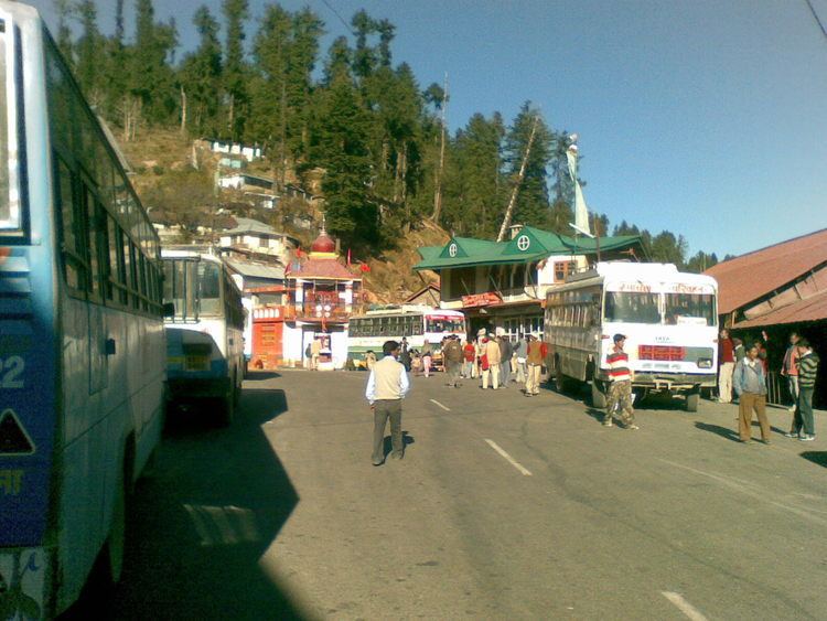 | ||
Map of Narkanda
Narkanda is a town and a nagar panchayat in Shimla district in the Indian state of Himachal Pradesh. It is at an altitude of 2708 meters on the Hindustan-Tibet Road (NH 22) in Himachal Pradesh, India. It is about 65 km from Shimla and surrounded by the Shivalik Range that span a large part of Himachal Pradesh.
Contents
- Map of Narkanda
- Skiing in narkanda himachal pradesh ski ground narkanda
- Hptdc hotel hatu hd narkanda himachal pradesh
- Geography
- Demographics
- References
It is a skiing resort in winter. It connects Shimla with Rampur and a detour also goes to Thanedhar, the prime apple belt of Himachal Pradesh where Satyananda Stokes started the apple culture.
Skiing in narkanda himachal pradesh ski ground narkanda
Hptdc hotel hatu hd narkanda himachal pradesh
Geography
Narkanda is located at 31.27°N 77.45°E / 31.27; 77.45. It has an average elevation of 2621 metres (8599 feet). Hatu Peak which is at 11000 ft is 5 km from Narkanda. Kotgarh is 16 km from Narkanda and famous for apple orchards. Satyanand Stokes brought the apple to this place and helped strengthen the economy of this area. Today Rs 3,000 Crore direct and indirect income is generated through apple production.Presently apple growers are shifting to bring their farm under cherry cultivation to fetch fast money in their pocket as holdings are marginalised due to population factor.The grandson of Mr. Stokes is experimenting to develop new variety of apple for better production.
Demographics
As of 2010 India census, Narkanda had a population of 2712. Males constitute 62% of the population and females 38%. Narkanda has an average literacy rate of 80%, higher than the national average of 59.5%: male literacy is 85%, and female literacy is 72%. In Narkanda, 15% of the population is under 6 years of age.