
District Chittoor Time zone IST (UTC+5:30) Area 168 ha Population 11,253 (2011) | Mandal Narayanavanam PIN 517581 Elevation 120 m Local time Tuesday 3:29 AM | |
 | ||
Weather 27°C, Wind S at 3 km/h, 90% Humidity | ||
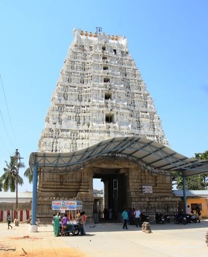
Narayanavanam is a census town in Chittoor district of the Indian state of Andhra Pradesh. It is the mandal headquarters of Narayanavanam mandal in Chittoor revenue division.
Contents
Map of Narayanavanam, Andhra Pradesh 517581
Geography
Narayanavanam is located at 13.42°N 79.58°E / 13.42; 79.58. It has an average elevation of 122 metres (400 feet).
Narayanavanam is just 35 km away from Tirupati, Andhra Pradesh, India and 95 km away from Chennai, Tamil Nadu, India. It is just 5 km away from Puttur, point of departure for buses to the temple town Narayanavanam. From Narayanavanam you can go to Kailasa Kona Falls.
Demographics
As of 2011 India census, Narayanavanam had a population of 37,041. Males constitute 50% of the population and females 50%. Narayanavanam has an average literacy rate of 64%, lower than the national average of 74%: male literacy is 72%, and female literacy is 56%. In Narayanavanam, 11% of the population is under 6 years of age. Telugu and Tamil is the official language of the town.
Education
The primary and secondary school education is imparted by government, aided and private schools, under the School Education Department of the state. The medium of instruction followed by different schools are English, Telugu and Tamil.