
Founded 24 July 1867 | Area 126.6 km² Population 45,005 (Jun 2013) | |
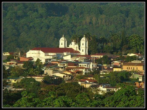 | ||
Naranjo is the sixth canton in the province of Alajuela in Costa Rica. The canton covers an area of 126.62 square kilometres (48.89 sq mi), and has a population of 45,005 (estimate as of 2013).
Contents
Map of Alajuela Province, Naranjo, Costa Rica
The capital city of the canton is also called Naranjo.
Geography
The Río Grande (Great River) forms the western and southern boundaries of the canton. The Río Espino (Thornbush River) is on the north, and the Río Colorado (Red River) and Río Molino (Mill River) establish the eastern border.
Districts
The canton of Naranjo is subdivided into eight districts (distritos):
- Naranjo
- San Miguel
- San José
- Cirrí Sur
- San Jerónimo
- San Juan
- El Rosario
- Palmitos
History
The canton was established by a decree of March 9, 1886. It is named for the citrus plantations found in the area.
References
Naranjo (canton) Wikipedia(Text) CC BY-SA