
Population 621 Community Nantmel Sovereign state United Kingdom Local time Monday 6:01 PM | OS grid reference SO06NW52 Country Wales Postcode district LD1 Post town Llandrindod Wells | |
 | ||
Weather 8°C, Wind SW at 18 km/h, 70% Humidity | ||
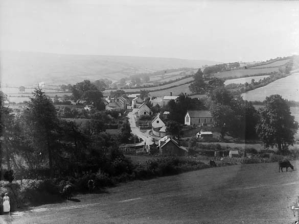
Nantmel is a village and a community in the county of Powys, Wales, and is 56.7 miles (91.2 km) from Cardiff and 150.5 miles (242.2 km) from London. In 2011 the population of Nantmel was 621 with 11.8% of them able to speak Welsh.
Contents
Map of Nantmel, Llandrindod Wells, UK
The hamlets of Argoed, Dulas and Cynllo all lie within this community and the Ty Lettice Roman Road runs through it.
Governance
An electoral ward in the same name exists. The population of this ward at the 2011 Census was 1,465.
References
Nantmel Wikipedia(Text) CC BY-SA