
Country Burma District Loilen District Time zone MST (UTC+6.30) | State Shan State Township Nansang Township Elevation 965 m | |
 | ||
Pangkalan balak ng nansang
Nansang or Namsang (Burmese: နမ့်စန်မြို့) is a town in Loilen District of Shan State in eastern Burma. It is the seat of Nansang Township.It is the biggest city of the middle eastern of the Shan State in myanmar. It is 72miles away from Taunggyi. A pagoda lies in the southern part of the town.It is also known as Taung Paw Pagoda.Most religions are Buddhism.There´s almost thirty monasteries(Buddhism).This region has seventy thousand populations.Most populations are villagers. Their economy are cativation. Only twenty thousands people are live in town. Most peoples are Shan.There is chauvinism for few people(Burmese,Paoh,Yinn,PaLaung,LeeSu,LeeShaw,.etc).
Contents
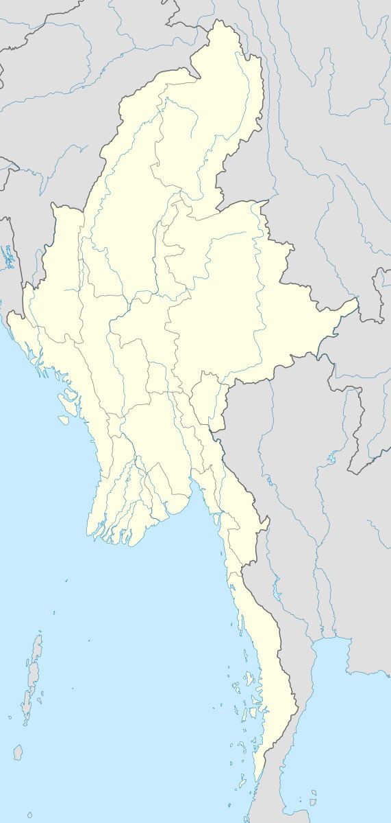
Map of Namsang, Myanmar (Burma)
Transport
It is served by Nansang Airport, where a former RAF base was located. It is well-connected by road, lying at the junction of National Highway 4 and National Highway 45 which connects it to Mong Ton and the Thai border.Since 1995 it has been served by a station on the Myanmar Railways network.