Website www.nansana.go.ug | Time zone EAT (UTC+3) Local time Monday 8:25 PM | |
 | ||
Weather 22°C, Wind S at 10 km/h, 86% Humidity | ||
Uganda april 2015 walking in nansana
Nansana is a town in the Central Region of Uganda. It is located in the Wakiso District and is one of the five municipalities in the district.
Contents
- Uganda april 2015 walking in nansana
- Map of Nansana Uganda
- Location
- Population
- Photos and Videos
- References
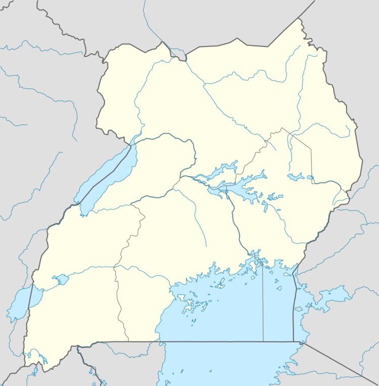
Map of Nansana, Uganda
Location
Nansana is located on the main highway between Kampala and Hoima. The town is approximately 13 kilometres (8.1 mi), by road, north-west of Kampala, Uganda's capital and largest city. The coordinates of the town are 0°21'50.0"N, 32°31'43.0"E (Latitude:0.363889; Longitude:32.528611).
Population
In 2002, the national population census put Nansana's population at 62,044. In 2010, the Uganda Bureau of Statistics (UBOS) estimated the town's population at 86,200. In 2011, UBOS estimated the mid-year population at 89,900. In 2014, the national population census put the population at 365,857.
Photos and Videos
References
Nansana Wikipedia(Text) CC BY-SA
