
- elevation 55 m (180 ft) | ||
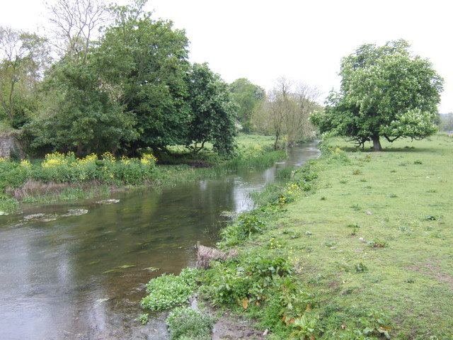 | ||
The Nanny, also called the Nanny Water, is a river that flows from Kentstown into the Irish Sea at Laytown. The river is known for its trout fishing, and its estuary on the Irish sea provides a haven for wintering birds.
Contents
- Map of River Nanny Co Meath Ireland
- Course
- Fishing
- Course in history
- Conservation of the estuary
- References
Map of River Nanny, Co. Meath, Ireland
Course
From Julianstown, the side of the Nanny is marked by gray, thick-bedded crystalline limestone, freely exposed, and dipping northwards at 15 degrees. Limestone cliffs are also exposed along the river at Rock Bellew, although these are blueish gray in color. The river bends near Dardistown bridge, again at St. Columbkille's Well, and a quarter of a mile north of the well, exposing evenly bedded limestone similar to those exposed at Rock Bellew. There are also mounds of gravel near the Nanny source, a ridge of gravel about two miles long, compounded with limestone pebbles and stratified sandy layers.
Fishing
According to legend, Saint Patrick had cursed several of the rivers in Meath, including the Nanny, for their deficit of fish. The river abounds with wild trout, however, and is stocked with brown trout, which accounts for more than half of the annual catch. The peak time for trout is March to May, and there is a fly fishing only stretch near Bellewstown. Sea trout also make their way up from the estuary.
Course in history
According to legend, in 848, Cineadh, lord of Cianachta-Breagh, allied with the Norsemen and rebelled against Malachy and plundered the churches and territories of the Hy-Niall from the River Shannon to the sea; a year later, the people of Malachy drown him in the Nanny (then known as the Ainge), which flowed through his patrimony.
During the Williamite Wars, after the Battle of the Boyne, the Jacobite army retreated from the field and headed for the bridge at Duleek, to cross the Nanny.
Conservation of the estuary
The estuary stretches roughly 3 kilometres (2 mi) and is an important site for wintering wading birds and is protected under the European Union Birds Directive. The formation itself is narrow and sheltered, providing an excellent habitat for waterbirds. Golden Plovers, various oyster catchers, Ringed Plovers and Sanderlings shelter there over the winter. Other resident waterbirds include Brent Geese, Bar-tailed Godwits, Great Black-backed Gulls, Common Gulls, curlews, dunlins and cormorants.
The estuary channel stretches about 2 kilometres (1 mi) inland and is narrow and sheltered, with muddy sediment. It includes both salt and freshwater marsh, and some wet grassland areas. The salt marsh is most pronounced in the eastern side of the channel. Sea Plantain, Sea Aster, Red Fescue, and Sea Purslane grow there. Deeper into the estuary, the marsh habitats support Bulrush and Yellow Flag. The shore line, approximately 500 metres (1,640 ft) at low tide mark, includes beach and intertidal habitats.