
Area 393.7 km² | Time zone BST (UTC+6) Population 34,561 (1991) | |
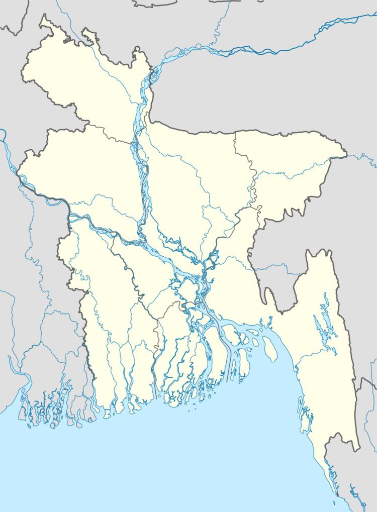 | ||
Naniarchar (Bengali: নানিয়াচর) is an Upazila of Rangamati District in the Division of Chittagong, Bangladesh.
Contents
Map of Naniarchar, Bangladesh
Geography
Naniarchar is located at 22.8583°N 92.1167°E / 22.8583; 92.1167. It has 6043 units of household and total area 393.68 km².
Demographics
As of the 1991 Bangladesh census, Naniarchar has a population of 34561. Males constitute 52.67% of the population, and females 47.33%. This Upazila's eighteen up population is 16882. Naniarchar has an average literacy rate of 33.9% (7+ years), and the national average of 32.4% literate.
Administration
Naniarchar has 4 Unions/Wards, 21 Mauzas/Mahallas, and 134 villages.
References
Naniarchar Upazila Wikipedia(Text) CC BY-SA