
Time zone IST (UTC+5:30) Population 6,880 (2011) | Area 4.7 km² | |
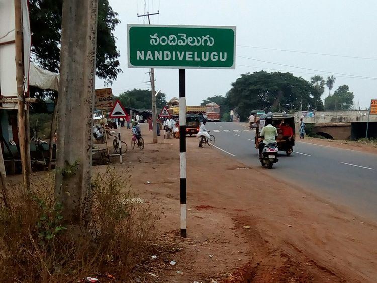 | ||
Nandivelugu is a village in Guntur district of the Indian state of Andhra Pradesh. It is located in Tenali mandal of Tenali revenue division.
Contents
- Map of Nandivelugu Andhra Pradesh
- Geography
- Demographics
- Government and politics
- Transport
- Education
- References
Map of Nandivelugu, Andhra Pradesh
Geography
Nandivelugu is located at 16.2924°N 80.6426°E / 16.2924; 80.6426. The village is spread over an area of 4.70 km2 (1.81 sq mi).
Demographics
As of 2011 census, Nandivelugu had a population of 6,880. The total population constitute, 3,404 males and 3,476 females —a sex ratio of 1021 females per 1000 males. 620 children are in the age group of 0–6 years, of which 321 are boys and 299 are girls. The average literacy rate stands at 75.18% with 4,706 literates.
Government and politics
Nandivelugu gram panchayat is the local self-government of the village. The panchayat is divided into wards and each ward is represented by an elected ward member. The ward members are headed by a Sarpanch and the present sarpanch is Arisetty Sivannarayana.
Transport
Guntur-Nandivelugu Road connects the village with the district headquarters, Guntur and the Tenali–Mangalagiri Road connects it with the urban centers of Tenali and Mangalagiri. The nearest railway station to the village is Kolakaluru and the major station is Tenali.
Education
The primary and secondary school education is imparted by government, aided and private schools, under the School Education Department of the state. The total number of students enrolled in primary, upper primary and high schools in the village are 559.
Zilla Parishad High School is a Zilla Parishad funded school, which provides secondary education in the village.