
Population 230 (2011 census) Local time Tuesday 12:48 AM | Postcode(s) 3533 Postal code 3533 | |
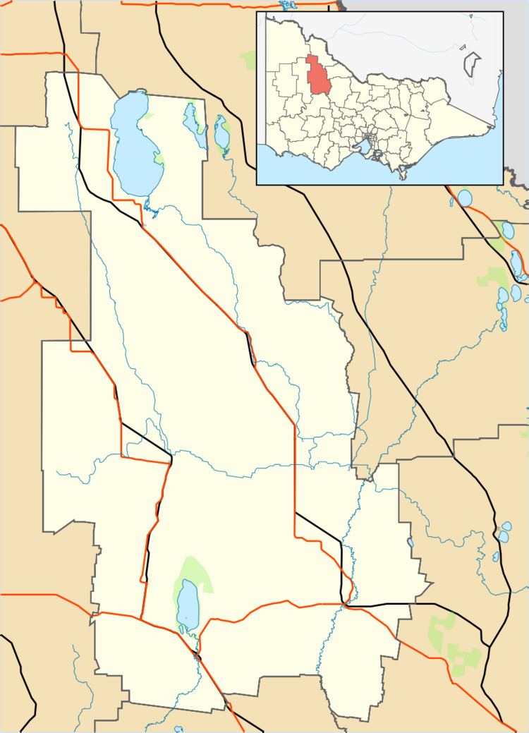 | ||
Location 388 km (241 mi) NW of Melbourne159 km (99 mi) SE of Mildura108 km (67 mi) W of Swan Hill34 km (21 mi) N of Sea Lake | ||
Nandaly is a small town in the Mallee region of Victoria, Australia. The town is located 388 kilometres (241 mi) north-west of the state capital, Melbourne on the Calder Highway in the Shire of Buloke local government area. At the 2011 census, Nandaly and the surrounding area had a population of 230.
Map of Nandaly VIC 3533, Australia
The Post Office opened on 2 November 1914 when a community developed on the arrival of the railway.
With its neighbouring township Sea Lake, Nandaly has a football team (Sea Lake-Nandaly) competing in the Mallee Football League.
Golfers play at the course of the Nandaly Golf Club on Messinnes Street.
References
Nandaly, Victoria Wikipedia(Text) CC BY-SA