
Time zone IST (UTC+5:30) Elevation 302 m Area code 08719 | Talukas Mahabubabad PIN 506317 Local time Monday 6:29 PM | |
 | ||
Weather 33°C, Wind N at 5 km/h, 28% Humidity | ||
Nanchari Madur is one of the villages in Thorrur mandal, and a town in Warangal district of Telangana, India. It is located on Jayaprakash Narayana road between Warangal and Khammam. It is at about 50 km from Warangal and 70 km from Khammam. It is a rapidly growing town due to its location. the distance between Hyderabad to Nanchari Madur is 141 km
Contents
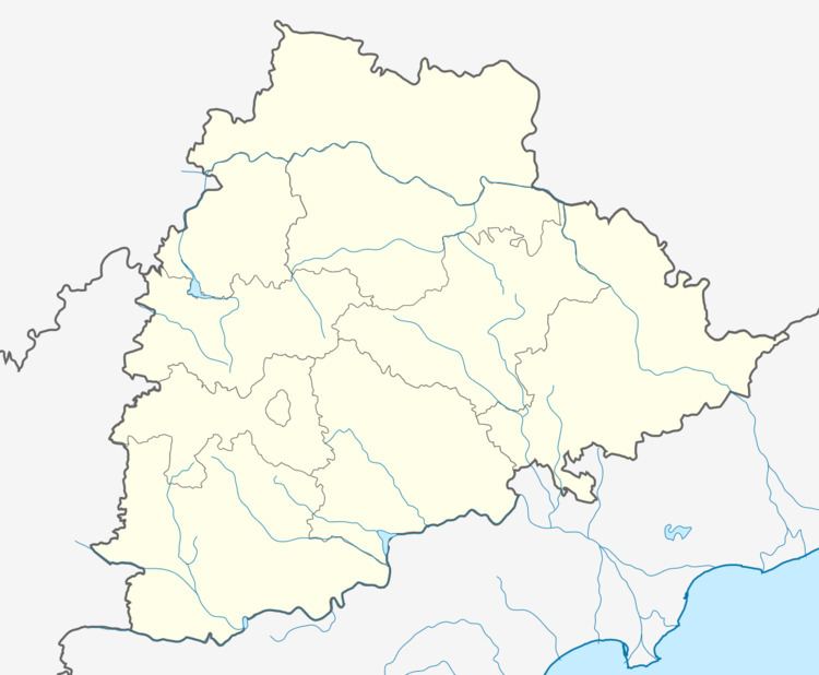
Map of Nanchari Madur, Telangana
Nearby villages
Kodakandla, Palakurthi, Thorrur, Wardhannapet, Maripeda, Parvathagiri, Mahbubaubad Warangal.
Temples
Lord Shiva, Dhurga Maatha, Temples. Church and Maazeed.
References
Nanchari Madur Wikipedia(Text) CC BY-SA