Constituency Ponnur Time zone IST (UTC+5:30) Area 30.13 km² Local time Monday 2:44 PM | PIN 522508 Population 19,676 (2011) Area code 0863 | |
 | ||
Weather 28°C, Wind S at 5 km/h, 61% Humidity Colleges and Universities Acharya Nagarjuna University, National Institute of Design, Vijayawada | ||
Namburu is a village in the Guntur district of the Indian state of Andhra Pradesh. It is located in Pedakakani mandal of Guntur revenue division.
Contents
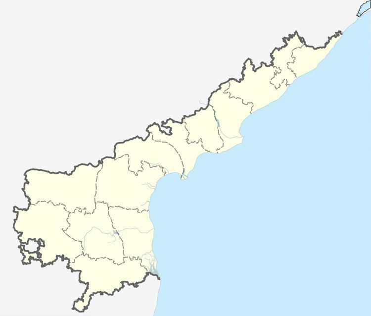
Map of Namburu, Andhra Pradesh
Government and politics
Namburu gram panchayat is the local self-government of the village. The panchayat is divided into 18 wards and each ward is represented by a ward member. The ward members are headed by a Sarpanch. CH Komala is the secretary of the panchayat.
Transport
National Highway 16, a part of Golden Quadrilateral passes through the village. APSRTC operates city buses to the village from NTR bus station of Guntur. Namburu railway station is an E–category station on Krishna Canal–Guntur section of Guntur railway division under South Central Railway zone.
Education and research
References
Namburu Wikipedia(Text) CC BY-SA
