
Time zone EET (UTC+2) Licence plate 06 Area 1,978 km² Area code 0312 | Elevation 625 m (2,051 ft) Postal code 06920 Website www.nallihan.gov.tr Local time Monday 10:53 AM | |
 | ||
Weather 8°C, Wind W at 13 km/h, 55% Humidity | ||
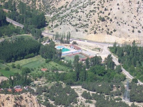
Nallıhan is a rural town and district of Ankara Province in the Central Anatolia region of Turkey, 157 km from the city of Ankara. According to 2010 census, population of the district is 30,571 of which 12,457 live in the town of Nallıhan. The district covers an area of 1,978 km², and the average elevation is 625 m.
Contents
- Map of NallC4B1han 06920 NallC4B1han2FAnkara Turkey
- Name
- Today
- Towns
- Places of interest
- Notable natives
- References
Map of Nall%C4%B1han, 06920 Nall%C4%B1han%2FAnkara, Turkey
Name
Nallıhan is named after a caravanserai on the ancient Silk Road to the Orient next to the river Nallı. There has been a settlement here for thousands of years.
Today
Today the town is known for its needlework and local cuisine including stuffed vine-leaves, pilav and pastries. The countryside is used for growing rice and grapes.
Nallıhan is one of many towns that claims to be the burial place of Taptuk Emre, who was the hodja (teacher in Islamic studies) of the folk-poet Yunus Emre. Nallıhan Davutoğlan Bird Paradise attracts local and foreign tourists.