
Website Official Map of Nakla | Time zone BST (UTC+6) Area 174.8 km² | |
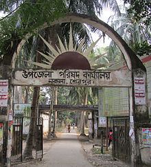 | ||
Nakla (Bengali: নকলা) is an Upazila of Sherpur District in the Division of Mymensingh, Bangladesh.
Contents
Map of Nakla Upazila, Bangladesh
Geography
Nakla is located at 24.9833°N 90.1833°E / 24.9833; 90.1833. It has 33,482 units of household and total area 174.8 km². The Nakla is free from Pakistani military, 9 December 1971. Pakistani military forces surrendered in the village named Pathakata. It is a historical place for Nakla. Every day many of tourists who are interested in its liberation war come to see the place. Nowadays there is a market named Pathakata Baazar.
Nakla is a very nice town. It is the major upazila of Sherpur district. Many famous persons were born there.
Demographics
As of the 1991 Bangladesh census, Nakla has a population of 162952. Males constitute 51.03% of the population, and females 48.97%. This Upazila's eighteen up population is 81345. Nakla has an average literacy rate of 22.4% (7+ years), and the national average of 32.4% literate.
Administration
Nakla has 1 PouraShova 9 Unions/Wards, 88 Mauzas/Mahallas, and 117 villages.