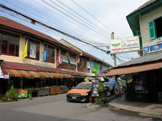
Country Thailand Time zone ICT (UTC+7) Geocode 7303 Province Nakhon Pathom Province | Seat Nakhon Chai Si Postal code 73120 Area 284 km² Population 109,951 (2015) | |
 | ||
Nakhon Chai Si (Thai: นครชัยศรี; [náʔkʰɔ̄ːn tɕʰāj sǐː]) is a district (amphoe) of Nakhon Pathom Province, central Thailand.
Contents
Map of Nakhon Chai Si District, Nakhon Pathom, Thailand
History
It was established in the reign of King Maha Chakkraphat of Ayutthaya kingdom. When King Chulalongkorn created the Monthon as part of the thesaphiban administrative reform, Mueang Nakhon Chai Si was the capital city of Monthon Nakhon Chai Si. Later when the government gave up the system, Mueang Nakhon Chai Si was downgraded to be a district of Nakhon Pathom.
Geography
Neighboring districts are (from the north clockwise) Bang Len, Phutthamonthon, Sam Phran, Mueang Nakhon Pathom and Don Tum.
The main water resource is the Tha Chin River, which is named Nakhon Chai Si River in the area of and around the district.
A large portion of Nakhon Chai Si is occupied by the muban (หมู่บ้าน: village), gated housing development, of Krisada City Golf Hill which has large single family homes, several blocks of four-storey shop-houses, and an 18-hole golf course with club house in the middle. The golf course contains several lagoons, many of which adjoin the single home properties. Kristada Golf City has gates onto Highway 4 and onto Highway 338.
Administration
The district is divided into 24 sub-districts (tambon), which are further subdivided into 108 villages (muban). Both Nakhon Chai Si and Huai Phlu have sub-district municipality (thesaban tambon) status. Each of the tambon has a tambon administrative organization (TAO).
