
Division Nakawa Division | Time zone EAT (UTC+3) | |
 | ||
Restaurants Kiwango Restaurant, Restaurant | ||
Nakawa is an area in the city of Kampala, Uganda's capital. It is also the location of the headquarters of Nakawa Division, one of the five administrative divisions of Kampala.
Contents
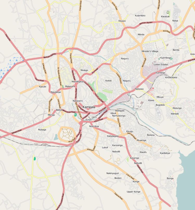
Map of Nakawa, Kampala, Uganda
Location
Nakawa is located on the eastern edge of the city of Kampala. It is bordered by Ntinda to the north, Kyambogo to the northeast, Banda and Kireka to the est, Mbuya to the southeast, Bugoloobi to the south, Namuwongo to the southwest, Kololo in Kampala Central Division to the west, and Naguru to the northwest. The road distance between Kampala's central business district and Nakawa is approximately 5 kilometres (3.1 mi). The coordinates of Nakawa are 0°19'59.0"N, 32°37'05.0"E (Latitude:0.333055; Longitude:32.618066).
Overview
Nakawa lies on the main highway between Kampala and Jinja. From a mere intersection of the Kampala-Jinja Highway and Ntinda Road' in the 1950s, Nakawa has grown into a bustling metropolitan area with small, medium, and large industries and some of Uganda's highest institutions of learning.
Landmarks
Nakawa has the following landmarks: