
Elevation 1,079 m | Local time Monday 8:39 AM | |
 | ||
Weather 21°C, Wind S at 8 km/h, 93% Humidity | ||
Nakasongola is a town in Nakasongola District in the Central Region of Uganda. The town is the site of the district headquarters.
Contents
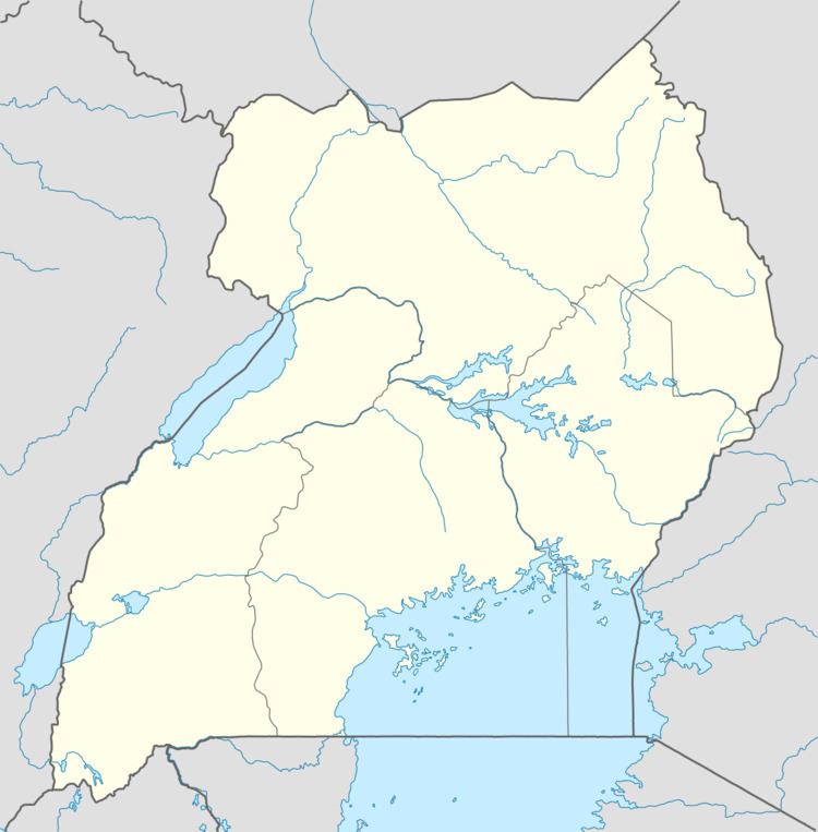
Map of Nakasongola, Uganda
Location
Nakasongola is approximately 140 kilometres (87 mi) north of Kampala, the capital and largest city of Uganda, on an all-weather tarmac highway between Kampala and Masindi. The coordinates of the town are 1°18'54.0"N, 32°27'54.0"E (Latitude:1.3150; Longitude:32.4650).
Population
The population of Nakasongola Town was estimated at 6,500 during the 2002 national census. In 2006, the population was estimated at 6,920. In 2010, the Uganda Bureau of Statistics (UBOS) estimated the mid-year population at 7,600. The 2012 mid year population estimate was 7,800.
Points of interest
The following additional points of interest are located in the town of Nakasongola or near its borders: