Length 196 km | ||
 | ||
West end: Hwy 4 (Robert Campbell Highway) north of Watson Lake | ||
Solo beyond the northern hinterlands the nahanni range road
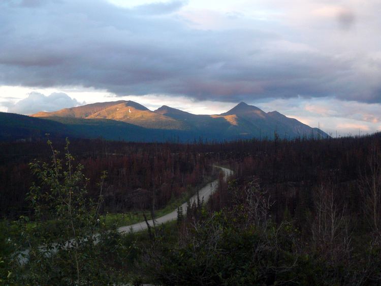
The Nahanni Range Road was completed in the early 1960s from Watson Lake, Yukon along the present alignment of the Robert Campbell Highway to Miner Junction (aka Cantung Junction), thence along the Highway 10 route, across the border into the Northwest Territories to the privately owned mining town known, confusingly, as either Cantung (for Canada Tungsten Mining Corporation) or Tungsten (for the mineral mined there). The portion between Cantung Junction and Watson Lake has, since 1971, been part of the Robert Campbell Highway (Yukon Highway 4).
Contents
- Solo beyond the northern hinterlands the nahanni range road
- Map of Nahanni Range Rd Tuchitua YT Y0A Canada
- Nahanni range road top 6 facts
- References
Map of Nahanni Range Rd, Tuchitua, YT Y0A, Canada
The Nahanni Range Road proper is entirely gravel, and is not recommended for general public use. Originally, two-thirds of the route was maintained by the Yukon government, and had campgrounds for public use. The remaining third was maintained by the mining company, open to public traffic, but with no public facilities at the town. When the mine shut in 1986, the road fell into disuse and maintenance became increasingly difficult. Since the mine resumed intermittent production in 2003, the road has been restored for the use of the mining company, but general public travel is still not advised.
