
Distance to – Santo Domingo 180 km Climate Af Elevation 3 m Local time Sunday 9:45 PM | Municipality since 1938 Municipal Districts 3 Area 552.7 km² Population 79,420 (2012) | |
 | ||
Weather 24°C, Wind E at 8 km/h, 87% Humidity Province | ||
For the clothing style among some indigenous peoples in Panama, Puerto Rico and Costa Rica see Ngäbe people#Dress
Contents
Map of Nagua 33000, Dominican Republic
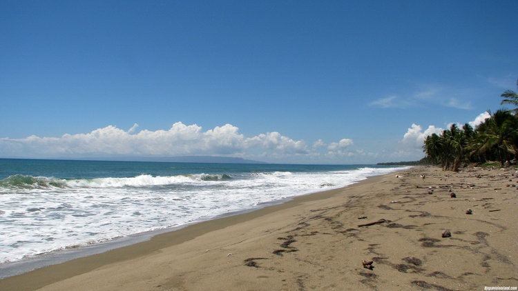
Nagua is the capital of María Trinidad Sánchez province, in the northeastern Dominican Republic.
A medium-sized town, Nagua's economy relies on the production of agricultural products, principally rice, coconuts, and cocoa bean. Located on the north of the Samaná Peninsula, Nagua lies on the highway leading from Puerto Plata to the city of Samaná.
Most of the town lies below sea level, which some believe makes Nagua susceptible to flooding that could destroy a substantial part of the town. In fact, during the reign of Rafael Trujillo (1930–1961), the neighboring town of Matanza, also below sea level, was destroyed by flooding caused by a magnitude 8.0 earthquake, in 1946. Many residents of Matanza chose to resettle in the area that is now Nagua. Matanza is now a small town called Matancita, just south of the city limits of Nagua.