
Local time Monday 4:15 AM | Time zone EAT (UTC+3) | |
 | ||
Weather 19°C, Wind SE at 3 km/h, 93% Humidity | ||
Nagongera is a town in Tororo District, in the Eastern Region of Uganda.
Contents
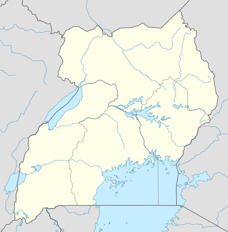
Map of Nagongera, Uganda
Location
It is located approximately 20 kilometres (12 mi), west of Tororo, the location of the district headquarters. This is about 45 kilometres (28 mi) southwest of Mbale, the largest city in Eastern Uganda. Nagongera lies approximately 222 kilometres (138 mi), northeast of Kampala, the capital of Uganda and the largest city in that country. The coordinates of the town are: 00°46'12.0"N, 34°01'34.0"E (Latitude:0.7700; Longitude:34.0261).
Population
In 2002, the Uganda Bureau of Statistics (UBOS), estimated the population of Nagongera at 9,440. In 2010 UBOS estimated the mid-year population of the town at 11,600. In 2011, UBOS stimated Nagongera's population at 11,800.
Points of interest
The following points of interest lie in or near Nagongera: