
Country Language spoken Hindi | State District Bharatpur | |
Nagar is town and tehsil in Bharatpur district in the Indian state of Rajasthan. Nagar is situated in between Bharatpur and Alwar. It is famous for the sweets called "Jalewa" a bigger version of Jalebis.
Contents
Map of Nagar, Rajasthan
Fairs
Nagar hosts a famous fair in the month of April on the occasion of Ram Navmi. Devotees comes to see the Ram Rathyatra which passes through towns main market to Ram Temple. Along with the Rathyatra lots of other cultural event competitions are also organizes by the local authority "Nagar Palika" and the parties comes from several places and shows their talent and skills on the eve. Fair lasts for nearly about a week.
Demographics
As of 2001 India census, Nagar had a population of 21,349. Males constitute 54% of the population and females 46%. Nagar has an average literacy rate of 58%, lower than the national average of 59.5%: male literacy is 69%, and female literacy is 45%. In Nagar, 18% of the population is under 6 years of age.
Cast wise, rural part of Nagar is populated mainly by Gurjars and Muslims and the urban part is dominated by Bramhins and vaishya.
How to reach
Nagar is well connected by both railway & road routes. Rail routes are connected from Allahabad, Mathura, Alwar and Jaipur via Alwar. There are lots of RSRTC buses to Jaipur, New Delhi, Mathura, Aligarh, Alwar, Bharatpur on a regular interval of hardly one hour or so.
Geography
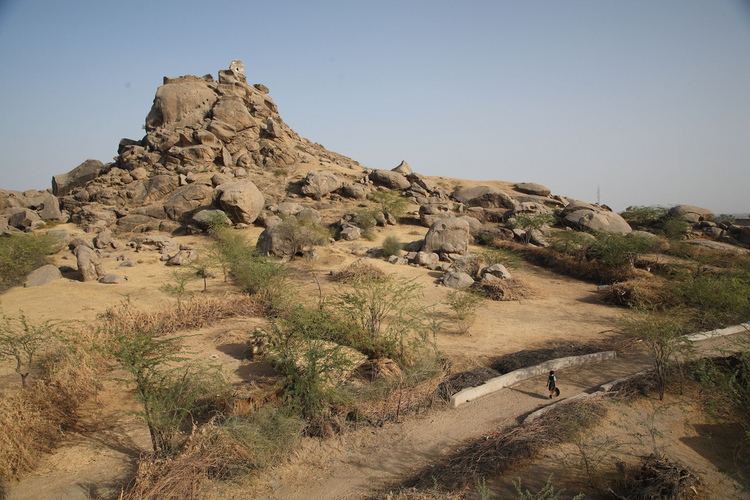
Nagar is located at 27.43°N 77.10°E? / 27.43; 77.10. It has an average elevation of 201 metres (662 feet).
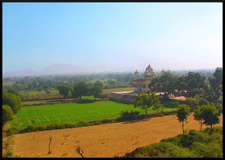
Geographically Nagar is in district Bharatpur and its lying at same distance from districts Bharatpur and Alwar. Distance from Delhi is roughly around 165 km and from Jaipur its 175 km.