
Elevation 3,022 m | ||
 | ||
Mountain range Himalayas, Garhwal Himalaya Similar Bandarpunch, Chandrashila, Deoria Tal, Swargarohini, Kedarkantha | ||
Nag tibba trek 2015 uttarakhand india gopro
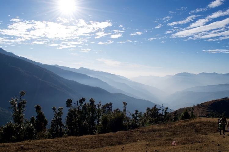
Nag Tibba ('Serpent's Peak'), 3,022 metres (9,915 ft), is the highest peak in the lesser himalayan region of Uttarakhand state (Garhwal Division), and lends its name to the 'Nag Tibba Range', itself the next-northerly of the five folds of the Himalaya. It is situated 16 km (9.9 mi) away from Landour cantonment, and around 57 km from Mussoorie in Tehri Garhwal region of Uttarakhand. The 'Nag Tibba Range' is amongst three principal ranges of the Lesser Himalayas, which includes the Dhauladhar, and the Pir Panjal, which branched off from the Great Himalayas
Contents
- Nag tibba trek 2015 uttarakhand india gopro
- Map of Nag Tibba Jaunpur Range Uttarakhand 249180
- Importance
- Trek
- Access
- References
Map of Nag Tibba, Jaunpur Range, Uttarakhand 249180
Importance
It is believed to be the abode of 'Nag Devta' or snake god, from which it borrows the first part of its name; 'Tibba' is a local word for hill or peak. Local villagers come here to offer their prayers to Nag Devta for the protection of their cattle. This place is frequented by trekkers and adventure lovers for its scenic beauty and is at elevation of 3048 meters. Winters are chilly and summers are pleasant, making it an attractive place for camping. The place can be reached from Dehradun via road. There are three ways to do this trek one route from Devalsari and the other from Shrikot, Pantwari.
Trek
Nagtibba means place or abode of the Snake God. It has a beautiful temple on the top, and a little over, one can see entire Bandarpoonch ranges of Great Indian Himalayas towards the Yumnotri side.
The trek to Nag Tibba starts from Devalsari where one can stay in the Forest Guest House by obtaining permission from the Mussoorie Forest office. Another way to reach Nag Tibba is from Shrikot,some 110km from Dehradun the trek is short from Shrikot compared to Pantwari and Devalsari and one can trek a further 5 km to Nag tibba top which offers a panoramic view of the Himalayas. Compared to it, from Shrikot the trek is only 6-7 km till the temple on the top. No accommodation is available at the place. The trail from Shrikot is clearly marked till the temple. The trek is easy to moderate level and take about 3-4 hours to reach the temple.Pantwari, some 100 km from Dehradun. The trek is short from Pantwari compared to Devalsari. Nag tibba is around 13 km from Devalsari and one can trek a further 3 km to Nag tibba top which offers a panoramic view of the Himalayas. Compared to it, from Pantwari the trek is only 7-8 km till the temple on the top. No accommodation is available at the place. The trail from Pantwari is clearly marked till the temple. The trek is easy to moderate level and take about 5-6 hours to reach the temple.
Overnight stay with camping gear is recommended for trekkers because there is no accommodation at the place. The nearest accommodation is Devalsari guest house (if you go via Devalsari). A day trek is the other option, but is very arduous. An important thing to note is that water is scarce along the route and is usually carried by the trekkers.
Access
To reach Devalsari take a direct jeep. Alternatively, take any bus or jeep going down the Tehri Road and get off at Suwakholi (10 km east). The side-road to Thatyur starts here; take the first jeep going that way (21 km north).All eastbound buses/jeeps leave Mussoorie from the Community Hospital on Tehri Road,and road is constructed.