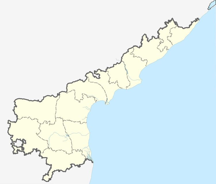
Region East Godavari District Time zone IST (UTC+5:30) Population 6,266 (2011) | District East Godavari district PIN 533016 | |
 | ||
Nadakuduru is a village situated in East Godavari district near Kakinada town, in Andhra Pradesh State. N. It is located 5 KM towards South from District head quarters Kakinada. 4 KM from Karapa. 250 KM from State capital Amaravathi, Pin code is 533016.
Contents
Map of Nadakuduru, Andhra Pradesh 533016
Shared boundaries with Turangi, Penuguduru , Gurajanapalli and Kovvuru , villages are the nearby Villages to Nadakuduru. Nadakuduru is surrounded by Kakinada Rural Mandal towards North , Kakinada Mandal towards North , Pedapudi Mandal towards west , Kajuluru Mandal towards South .
It is near to bay of bengal. Kakinada , Samalkot , Yanam , Peddapuram are the nearby towns to Nadakuduru.
Telugu is the Local Language here. Total population of Nadakuduru is 6266 .Males are 3148 and Females are 3,118 living in 1524 Houses
. Total area of Nadakuduru is 403 hectares.
Transport
Nadakuduru is situated on Kakinada Road with connections to nearby towns and cities with regular buses and other modes of transportation.
