
Country Thailand Time zone ICT (UTC+7) Geocode 3113 Population 33,135 (2005) | Seat Na Pho Postal code 31230 Area 255 km² Province Buriram Province | |
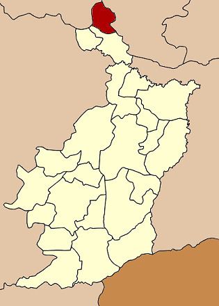 | ||
Na Pho (Thai: นาโพธิ์, [nāː pʰōː]) is the northernmost district (amphoe) of Buriram Province, northeastern Thailand.
Contents
Map of Na Pho District, Buriram, Thailand
Geography
Neighbouring districts are (from the south clockwise) Phutthaisong of Buriram Province, Nong Song Hong of Khon Kaen Province, Na Chueak and Yang Sisurat of Maha Sarakham Province.
History
The minor district (king amphoe) was created on 31 March 1981, when the four tambon Na Pho, Ban Khu, Ban Du, and Don Kok were split off from Phutthaisong District. It was upgraded to a full district on 1 January 1988.
Administration
The district is divided into five sub-districts (tambon), which are further subdivided into 71 villages (muban). Na Pho is a township (thesaban tambon) which covers parts of tambon Na Pho and Si Sawang. There are a further five tambon administrative organizations (TAO).