
Time zone IST (UTC+5:30) Elevation 14 m | Vehicle registration AP | |
 | ||
District potti sreeramulu nellore | ||
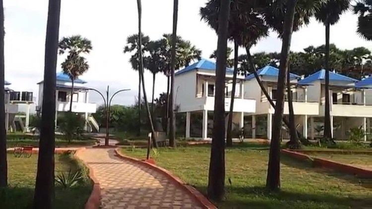
Maipadu is a village in Indukurupeta Mandal of Nellore District in the state of Andhra Pradesh, India. This is located at 25 Kilometers from Nellore City. The beach here is a tourism spot and many people visit this during holidays and weekends
Contents
Map of Mypadu, Andhra Pradesh 524313
Geography
Maipadu's geographical coordinates are 14° 30' 0" North, 80° 10' 0" East and its original name (with diacritics) is Maipādu
References
Mypadu Wikipedia(Text) CC BY-SA