
Area 388.4 km² | Time zone BST (UTC+6) | |
 | ||
Website Official Map of Mymensingh Sadar | ||
Mymensingh Sadar (Bengali: ময়মনসিংহ সদর) is an Upazila of Mymensingh District in the Division of Mymensingh, Bangladesh.
Contents
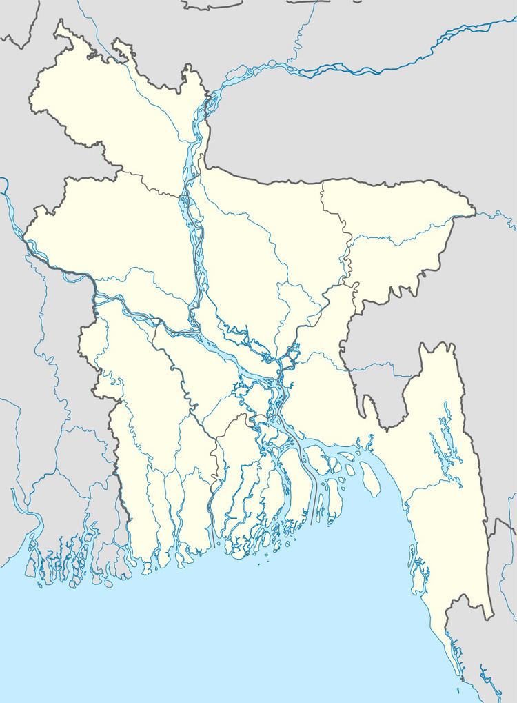
Map of Mymensingh Sadar Upazila, Bangladesh
Geography
Mymensingh Sadar is located at 24.7500°N 90.4167°E / 24.7500; 90.4167. It has 104,567 units of household and its total area is 388.45 km². The River Brahmaputra just crosses the section of Mymensingh. A hundred plus years ago the river was wided 5-10 km and now it is a seasonal flow, not an ever-flowing river. A huge land recovered from this riverbed for a hundred years as named 'CHARS' is a big part of Mymensingh and as it was riverine land regular seasonal flood water namely from the GARO hills of Meghalaya Of India flashes up to these CHAR's. Flood is some where seasonal reasons for refreshing fertility of land and a trend of native fishes add some protein budget assistance in this poor CHAR villages.
Demographics
As of the 1991 Bangladesh census, Mymensingh Sadar had a population of 566,368. Males constituted 52.18% of the population, and females 47.82%. This Upazila's eighteen-up population was 284,112. Mymensingh Sadar has an average literacy rate of 37% (7+ years), and the national average of 32.4% literate.
Administration
Mymensingh Sadar has 20 Unions/Wards, 213 Mauzas/Mahallas, and 173 villages. The City council (Nagar Parishad) is river side center of Mymensingh established by colonial native kings.