Country United States ZIP codes 83650 Area 9.943 km² Zip code 83650 Area code 208 | Time zone Mountain (MST) (UTC-7) Elevation 860 m Population 97 (2010) Local time Tuesday 7:09 PM | |
 | ||
Weather 11°C, Wind SE at 19 km/h, 84% Humidity | ||
Murphy is an unincorporated census-designated place in Owyhee County, Idaho, United States. The county seat of Owyhee County, it is among the smallest county seats nationwide. As of the 2010 census, its population was 97. Murphy is part of the Boise City–Nampa, Idaho Metropolitan Statistical Area.
Contents
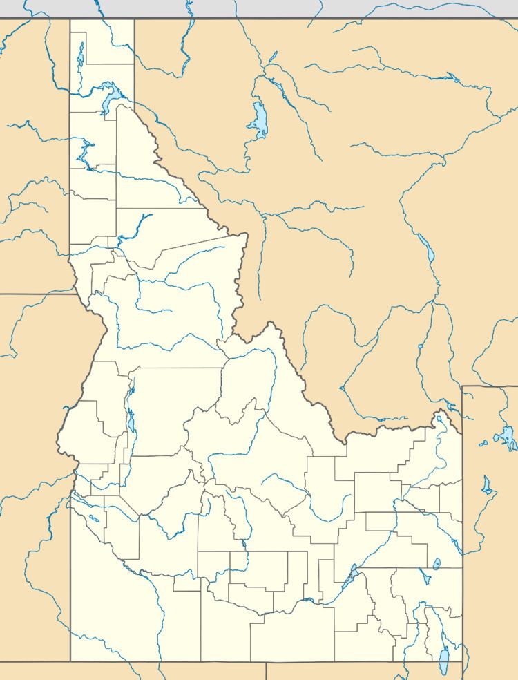
Map of Murphy, ID 83650, USA
History
Murphy developed around a railhead of the Boise, Nampa and Owyhee Railroad built in 1899. The state legislature selected the town as county seat in 1934, succeeding Silver City (which was located in the Owyhee Mountains and had been in decline; it is now defunct). The railroad operated until 1947. Murphy is the home of the Owyhee County Historical Museum and Library.
The community was named after Cornelius "Con" Murphy, a crew boss with the Boise, Nampa and Owyhee Railroad.
Geography
Murphy is located at 43°13′06″N 116°33′08″W, at an elevation of 2,820 feet (860 m) above sea level; it is 25 miles (40 km) south of Nampa.
Airstrip
Murphy's airstrip is situated immediately northeast of the community, without a control tower. Its 2,500-foot (760 m) asphalt runway is oriented NW-SE (12/30), parallel with State Highway 78. The elevation drops 60 feet (18 m) in the northwest (30) direction, from 2,855 to 2,795 feet.
