
Established 2011 Time zone ACST (UTC+9:30) Mean max temp Mean min temp Postal code 5601 | Postcode(s) 5601 Founded 2011 | |
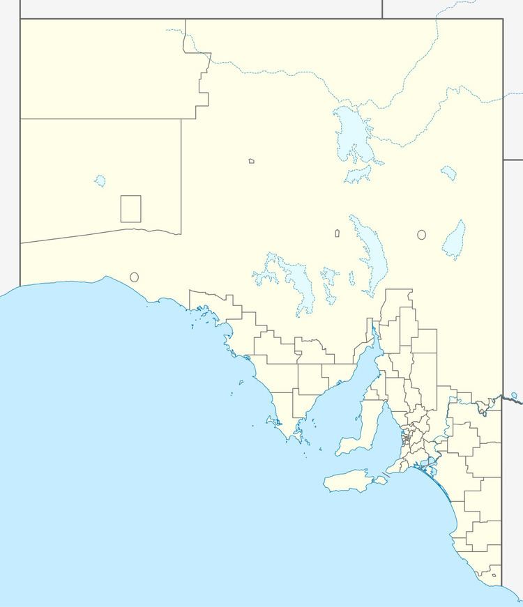 | ||
Murminnie Beach is a locality in the Australian state of South Australia located on the east coast of the Eyre Peninsula overlooking Spencer Gulf about 212 kilometres (132 mi) north-west of the Adelaide city centre and about 36 kilometres (22 mi) south-west of the centre of Whyalla.
Map of Murninnie Beach SA 5601, Australia
Its boundaries were created in December 2011. The name is derived from Murninnie Beach Shack Site whose site is located within the locality’s boundaries.
As of 2015, Murminnie Beach consists of an area of land adjoining the coastline and containing a settlement consisting of several streets of low-rise dwellings. The majority of the locality is zoned for conservation purposes with the view of providing limited built development intended principally for recreational and tourism uses, which has a minimal impact and where provided, compliments the environment of the locality.
Murminnie Beach is located within the federal division of Grey, the state electoral district of Giles and the local government area of the City of Whyalla.