
Elevation 7 m Population 5,659 (2011) | ElevationAbove sea level 7 m (23 ft) Local time Wednesday 2:14 AM | |
 | ||
Weather 22°C, Wind SE at 5 km/h, 89% Humidity | ||
Murarisaha or Murarisha Chowmatha(most of the time uses) is a large village located in the taluk of Hasnabad block, the district of North 24 Parganas in the state of West Bengal in India. It has a population of about 5659 persons living in around 1006 households.
Contents
Map of Murarisah, West Bengal
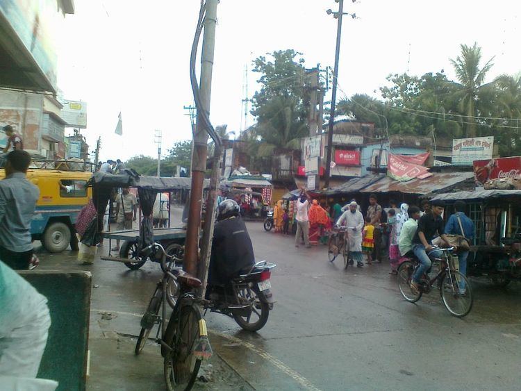
It is a junction of four roads and thus joining of this four side roads it has been called Chowmatha. Chowmatha is stood on a proper market of this great junction.
Etymology
Murarisha is a mixed or hybrid word but it is related to a specific person. Here something can be guessed about this short word murarisha. The first part of this word murarimust be a gender of male and is related to a famous persons name of the ancient time but it was not noted with lack of collection of the histories of those eras. The word 'murari' is an ancient part of peoples names often used those time to identify their majority of great work and powerful strength like such a word Sultan. And the second part of this word 'sha' is the title of name of a person to identify the cast and class.
Weather
The weather of Murarisha is similar to other places in West Bengal, with a tropical climate, specifically a tropical wet and dry climate(Aw) under the Köppen climate classification, with seven months of dryness and peak of rains in July. The cooler season from December to February is followed by the summer season from March to June. The period from June to about the end of September constitutes the south-west monsoon season, and October and November form the post-monsoon season. Between June and September, the south west monsoon rains lash the village. Pre-monsoon showers are received in May. Occasionally, north-east monsoon showers occur in October and November.
The maximum annual rainfall ever recorded was 1 500 mm for every year. The highest rainfall recorded in a single day was 850 mm. The average total annual rainfall is 1500 mm. The average annual temperature is 32 °C, and the average maximum temperature is 35 °C, while the average minimum temperature is 28 °C. In the summer the temperature is up to 35 °C, but in winter it drops to approximately 10 °C. Annual rainfall is about 1 500 mm.
Geographical state
It belongs to Presidency division. It is located 55 km towards East from District headquarters Barasat. It is also 65 km from State capital Kolkata.
Demographics
As per 2011 census it had a population of about 5659 persons living in around 1006 households. Bengali is the principal language spoken all the time by people in this area.
Transport
Murarisha can be reached through various ways. It can be reached from major city Kolkata through Taki road. Murarisha is just 11 km from Basirhat railway station to reach. Hasanabad Rail Way Station, Taki Road Rail Way Station are the very nearby railway stations to Murarisha. How ever Howrah Junction railway station is major railway station 65 km near to Murarisha. Netaji Subhas Chandra Bose International Airport is 54 km from Murarisha.