
Charter 1868 Local time Tuesday 9:59 PM | Time zone EET (UTC+2) | |
 | ||
Sub-region Fell Lapland sub-region Area rank 31st largest in Finland Weather -1°C, Wind SE at 14 km/h, 70% Humidity Points of interest Pallas‑Yllästunturi National Park, Pallastunturi, Pallastunturin Luontokeskus, Keimiöniemen kalapirtit, Kirkkopahta | ||
Muonio (previously called Muonionniska, Northern Sami: Muoná) is a municipality of Finland.
Contents
Map of Muonio, Finland
The town is located in far northern Finland above the Arctic Circle on the country's western border, within the area of the former Lappi (Lapland) province. The municipality has a population of 2,362 (31 March 2016) and covers an area of 1,904.10 square kilometres (735.18 sq mi) of which 133.91 km2 (51.70 sq mi) is water. The population density is 1.24 inhabitants per square kilometre (3.2/sq mi). The next closest Finnish municipalities are Enontekiö, Kittilä, and Kolari; and to the west is Sweden's Pajala. On the south side of town, a road bridge crosses the Muonio River, linking Muonio to northern Norrbotten County, Sweden. Muonio is good base for exploring the many things to do in the area and is on the E8 highway which goes north to Kilpisjärvi.
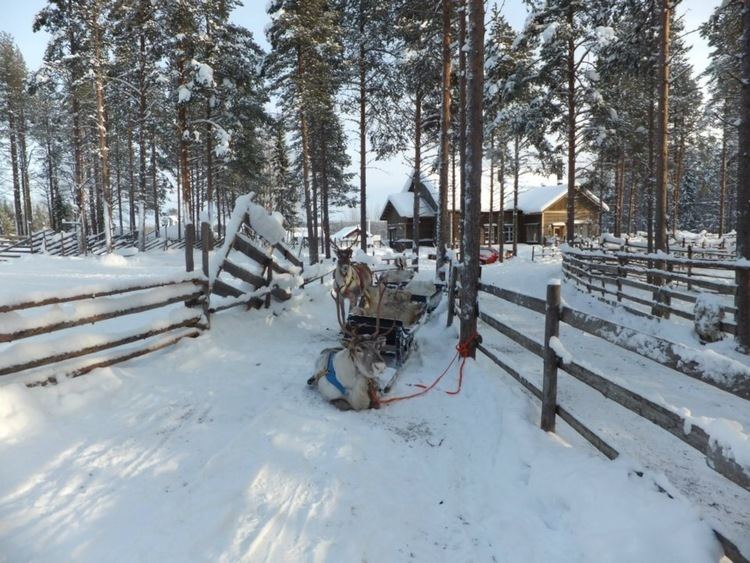
Muonio is known as the municipality with the longest snow season in Finland. For that reason its vocational college has a top ski class that attracts aspiring cross-country ski champions from all over Finland.
The municipality is unilingually Finnish, unlike many towns on the Finland-Sweden border.
Lapland trip muonio finland vivatours mars
Villages
The villages in Muonio include Ylimuonio, Kangosjärvi, Kätkäsuvanto, Kihlanki, and Särkijärvi.
Politics
Results of the Finnish parliamentary election, 2011 in Muonio: