
Area rank 7 Area 3.5 km² Population 26,747 (2011) Local time Tuesday 10:00 PM | Founded by Jauna Kha Time zone IST (UTC+5:30) Elevation 403 m Area code 05454 | |
 | ||
Weather 23°C, Wind W at 3 km/h, 44% Humidity | ||
Mungra Badshahpur (मुंगरा बादशाहपुर) is a town and a municipal board in Jaunpur district of Uttar Pradesh, India. It is situated 35 km east of Allahabad city in the North-West part of Varanasi Division.
Contents
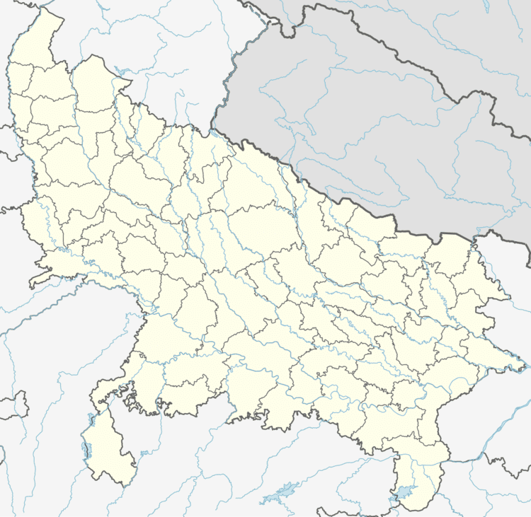
- Map of Mungra Badshahpur Uttar Pradesh 222202
- Topography
- Demographics
- History
- Economy
- Panchayat and villages
- Politics
- References
Map of Mungra Badshahpur, Uttar Pradesh 222202
Topography
Attitude varies from 261 ft to 290 ft. above M.S.L. (Mean Sea Level). The topography of the town is mainly a flat plain. The soils are mainly sandy, loamy and clayey. There is a paucity of minerals. Excavations at some places yield to some rocks which are burnt to make lime. The lime obtained from sand and gravel is used in buildings construction work. Mungra Badshahpur is often affected by the disaster of floods.The temperatures of the town lie between a minimum of 4.30C and a maximum of 44.60C. Average annual rainfall is 987 mm.
Demographics
As of 2011 India census, Mungra Badshahpur is a Block, can be called developed. The number of women is 1020 to every 1000 men. which had a population of 26,747. Males constitute 49.89% of the population and females 50.11%. Mungra Badshahpur has an average literacy rate of 71.8%, higher than the national average of 68.5%: male literacy is 77.7%, and female literacy is 65.9%. The Sarva Shiksha Abhiyan (Hindi for Total Literacy Campaign) was launched in 2001 to ensure that all children in the 6–14-year age-group attend school and complete eight years of schooling by 2010. An important component of the scheme is the Education Guarantee Scheme and Alternative and Innovative Education, meant primarily for children in areas with no formal school within a one kilometre radius. Mungra Badshahpur literacy in age group 7-18 is 98.7%. many of people doing jobs in Delhi, Mumbai, Surat and many cities of India. Maa kali and Daulatiya {Bajarangbali} temple is famous in this town.
History
There are some historical sites and worth-seeing sights in the town. Maa Kali Dham Situated in the heart of the town. it's majestic front gate built with a view to security and it was decorated with Brown, yellow stones And Daulatiya Hanuman are the chief attractions of tourists. All the historic & worth-seeing spots have their own special importance.
Economy
As of 2015 the economic development of the town is mainly dependent on agriculture. The chief cause of this is the absence of heavy industry in the town. Several industries are coming up along the Varanasi Jaunpur highway. A cotton mill is operational near Karanja Kala. At Satahariya too, about 85 industrial units like M/s Raja Flour Mill, Pepsico India Holdings, Howkins Cookers Limited, Amit Oil & Vegetablle, Chaudharana Steel Limit, Saurya Aluminium are running. The Animal Husbandry, a dairy unit is established. Three fourths of the population of the town is dependent on agriculture.
Panchayat and villages
There are 66 Panchayats in Mugra Badshahpur kshetra panchayat / block:
Politics
Politics of Mungra Badshahpur is dominated by the National party Bhartiya Janta Party (BJP). Regional parties Bahujan Samajwadi Party (BSP) and Samajwadi Party (SP) are also in presence.