
District Braunau am Inn Vehicle registration BR Area 31 km² Local time Tuesday 4:42 PM Postal code 5222 | Time zone CET (UTC+1) Website www.munderfing.at Elevation 468 m Population 2,720 (1 Apr 2009) Area code 07744 | |
 | ||
Weather 13°C, Wind W at 5 km/h, 64% Humidity | ||
Munderfing is a municipality in the district of Braunau am Inn in the Austrian state of Upper Austria.
Contents
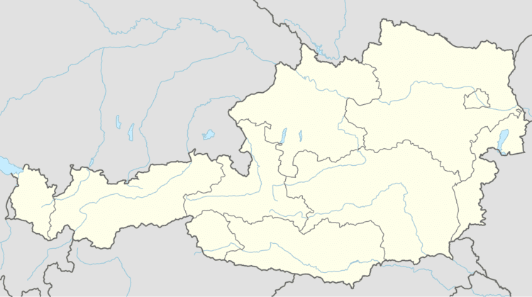
Map of 5222 Munderfing, Austria
Geography
Munderfing lies on the western edge of the Kobernauß forest in the Innviertel. About 57 percent of the municipality is forest and 38 percent farmland.
References
Munderfing Wikipedia(Text) CC BY-SA