
Population 3,521 (2011) Civil parish Mulbarton Area 5.34 km² | OS grid reference TG187003 Sovereign state United Kingdom | |
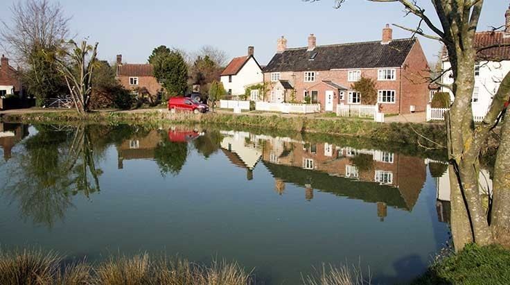 | ||
Mulbarton is a village and civil parish located south of Norwich in the English county of Norfolk. It covers an area of 5.34 km2 (2.06 sq mi).
Contents
Map of Mulbarton, Norwich, UK
The population at the 2001 census was 2,827, increasing to 3,521 at the 2011 census.
Facilities include two schools (Mulbarton Infant School and Mulbarton Junior School), an Adnams' public house, The World's End, a social club, two convenience stores (One Stop and Co-op), a church, a fish-and-chip shop, a Chinese takeaway, and an MOT and vehicle repair centre. There is a regular bus service to Norwich. In the centre of the village is a large common, with a pond where many ducks live.
Governance
An electoral ward in the same name exists. This ward stetches north west to Ketteringham with a total population taken at the 2011 census of 5,121.