
Area 261 km² | Time zone BST (UTC+6) | |
 | ||
Website Official Map of the Muladi Upazila | ||
Muladi (Bengali: মুলাদি) is an Upazila of Barisal District in the Division of Barisal, Bangladesh.
Contents
- Map of Muladi Upazila Bangladesh
- Geography
- Demographics
- Main occupations
- Land use
- Land control
- Land value
- Crops and fruits
- Administration
- Education
- References
Map of Muladi Upazila, Bangladesh
Geography
Muladi is located at 22.9153°N 90.4150°E / 22.9153; 90.4150 . It has 32,515 households and a total area of 261.02 km². It borders Gosairhat Upazila on the north, Barisal Sadar Upazila on the south, Hizla and Mehendiganj Upazilas on the east and Kalkini, Gournadi and Babuganj Upazilas on the west.
Demographics
According to the 1991 Bangladesh census, Muladi had a population of 171,948. Males constituted 50.49% of the population, and females 49.51%. The population aged 18 or over was 80,369. Muladi had an average literacy rate of 31.4% (7+ years), compared to the national average of 32.4%, comprising 36.5% among males and 26.2% among females. 97.79% of the population were Muslim, 2.16% were Hindu and 0.05% followed other beliefs.
Main occupations
51.17% of the population work in agriculture, 20.67% as agricultural labourers, 3.18% as wage labourers, 7.52% in commerce, 7.13% in services, 2.5% in fishing and 7.83% in other occupations.
Land use
Cultivable land covers 26159.45 hectares and fallow land 237.56 hectares; single crop 42%, double crop 50% and treble crop land 8%. 74% of cultivable land is under irrigation.
Land control
Among the peasants, 29% are landless, 7.09% marginal, 32.82% small, 27% intermediate and 4.09% rich; cultivable land per head 0.14 hectare.
Land value
The market value of land of the first grade is approximately 5000 Tk per 0.01 hectares.
Crops and fruits
The main crops are Paddy, wheat, sweet potatoes, pulses, brinjal and betel leaves, and the main fruits are mangoes, jackfruits, bananas, blackberries, coconuts, lychee, palms, betel nuts and amra. The extinct or nearly extinct crops are Jute, tobacco, mustard seeds, groundnuts, garlic, sugar cane, arahar, china and kaun.
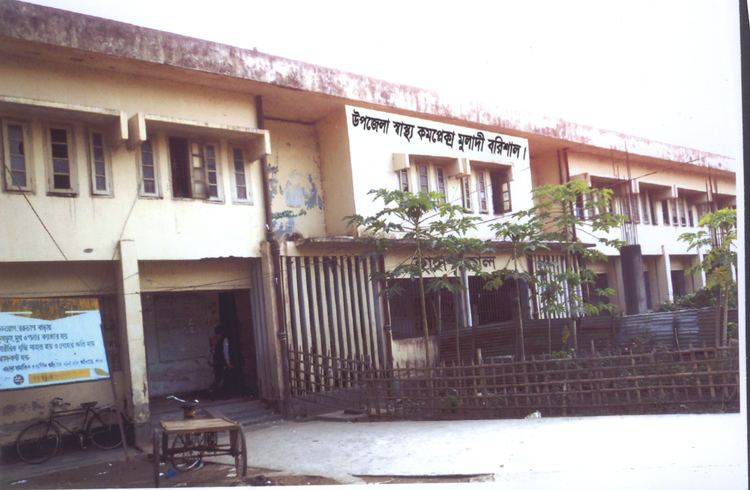
Administration
Muladi thana was established in 1967 and was turned into an upazila in 1983. It consists of 7 union parishads, 98 mouzas and 108 villages.
Upazila Chairman : Tariqul Hasan Khan Mithu
Woman Vice Chairman :Samima Nasrin
Vice Chairman :
Upazila Nirbahi Officer (UNO) : Abdullah Al Masud
Education
There are 5 colleges, 30 high schools, 5 junior schools, 77 government primary schools, 50 non-government primary schools, 17 madrasas and a kindergarten. The noted educational institutions are Bheduriachar Government Primary School (1892) and Tayak Tomchar Government Primary School (1845).
Educational institutions in Muladi Upazila include: