
Time zone IST (UTC+5:30) Elevation 132 m Population 2,978 (2001) | CD block Nirsa Vehicle registration JH Local time Tuesday 10:55 AM | |
 | ||
Weather 29°C, Wind NW at 8 km/h, 31% Humidity | ||
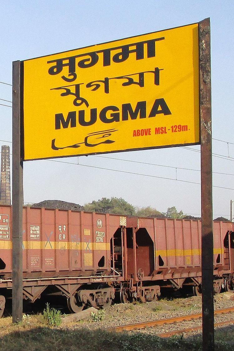
Mugma is a village in Nirsa CD Block in Dhanbad district in the Indian state of Jharkhand.
Contents
Map of Mugma, Jharkhand
Geography
Mugma is located at 23.77°N 86.73°E / 23.77; 86.73. It has an average elevation of 132 metres (433 feet).
Demographics
As per 2011 Census of India, Mugma had a population of 4,277, of which 2,238 were males and 2,039 females. Scheduled Castes numbered 622 and Scheduled Tribes numbered 362.
As of 2001 India census, Mugma had a population of 2,978. Males constitute 56% of the population and females 44%. Mugma has an average literacy rate of 54%, lower than the national average of 59.5%: male literacy is 66%, and female literacy is 39%. In Mugma, 13% of the population is under 6 years of age.
Literacy
As of 2011 census, the total number of literates in Mugma was 2,616 out of which 1,574 were males and 1,042 were females.
Education
Major Schools: De Nobili School, Mugma