
- location Alfred National Park Mouth Bass Strait | - elevation 273 m (896 ft) - elevation 0 m (0 ft) | |
 | ||
The Mueller River is a perennial river with no defined major catchment, located in the East Gippsland region of the Australian state of Victoria.
Contents
Map of Mueller River, Tamboon VIC, Australia
Course and features
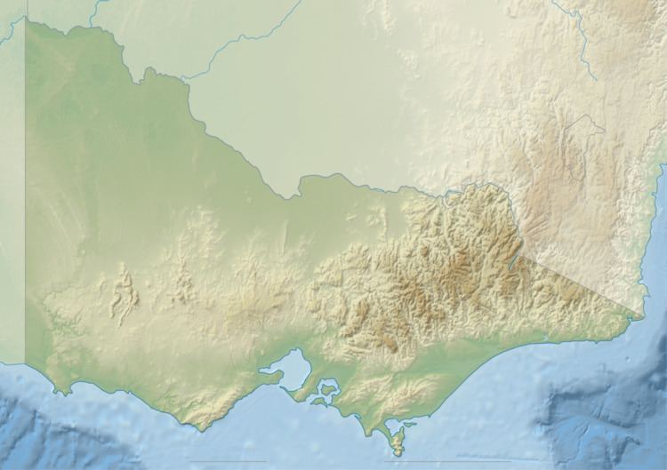
The Mueller River rises below Mount Drummer in the Alfred National Park between Cann River and Genoa, and flows generally south through the Croajingolong National Park before reaching its mouth with Bass Strait, east of Point Hicks in the Shire of East Gippsland. The river descends 273 metres (896 ft) over its 30 kilometres (19 mi) course.
The upper reaches of the river is traversed by the Princes Highway.
References
Mueller River (Victoria) Wikipedia(Text) CC BY-SA