
Country Kenya Time zone EAT (UTC+3) Local time Monday 11:19 PM | Elevation 10 m | |
 | ||
Weather 28°C, Wind SE at 5 km/h, 79% Humidity | ||
Mpeketoni terrorist attack in kenya
Mpeketoni is a town in Lamu County, on the Kenyan coast. It is a settlement scheme started in 1960s by the first president of the Republic of Kenya, Jomo Kenyatta near a fresh water lake bearing his name.
Contents
- Mpeketoni terrorist attack in kenya
- Map of Mpeketoni Kenya
- Location
- History
- Overview
- Population
- Administration
- Mpeketoni attacks
- References
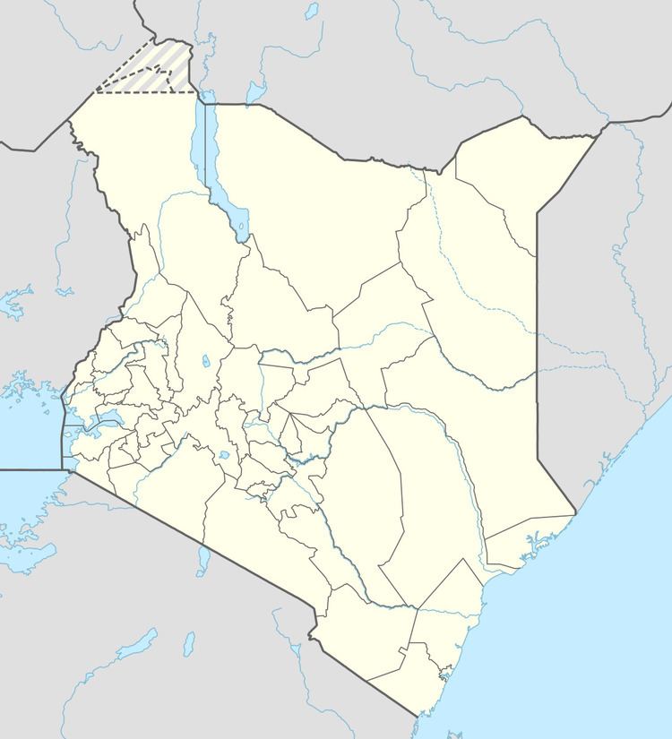
Map of Mpeketoni, Kenya
Location
Mpeketoni lies in Lamu County, 9 kilometres (6 mi), south of the Garsen–Witu–Lamu Highway, approximately 45 kilometres (28 mi) southwest of Mokowe, on the coast. The coordinates of the town are: 2°23'28.0"S, 40°41'50.0"E (Latitude:-2.391119; Longitude:40.697233).
History
Originally, Mpeketoni and its surroundings were inhabited by Swahilis called Wabajuni and a small hunting and gathering tribe by the name of Wasanye or the Sanyes who are almost extinct. In the early 1970s Mpeketoni was transformed into a settlement area for landless Kenyans. Most of those who settled there were Kenyans from up country who had been living in Tanzania but decided to return home due to changing political climate. The Kikuyu tribe, which is traditionally a farming community, mostly populates this area. Other tribes found in Mpeketoni include the Luos and Kambas as well as the original local Swahili people.
The town is on a route that was used by the Arab traders taking their commodities "slaves" to Lamu Island. Up to now huge mango trees along the way from Mpeketoni to Lamu Island are still visible and are said to have grown from the seeds of the mangoes slaves were eating.
Overview
The land has since been painstakingly transformed to arable land for farming. The main cash crops include maize, cotton, cassava, cashew nuts, mangoes, and bananas.
The people of Mpeketoni have benefited from the efforts from a variety of non-profit organizations, a German not-for-profit organization GTZ and a Dutch philanthropist with ongoing charity projects since 1987. Schools, a clinic and a church have been built with funds collected from the Netherlands in collaboration with the Groen van Prinsterer school in Vlaardingen, in the Netherlands. The clinic was named Maria Teresa Nuzzo Health Centre after the foundress of the Catholic Sisters', a congregation that run it. It is now the Mpeketoni Hospital. Mpeketoni is host to Lake Kenyatta, a fresh-water lake that covers about 5 square kilometres (1,200 acres). The lake is an ecological site with variety of fish, not less than 3,500 hippos and a large array of birds.
Population
As of June 2015, the population of the town was estimated at about 50,000.
Administration
The Division is divided into small administrative villages, including Kiongwe, Baharini, Mkunumbi, Bomani, Uziwa, Mapenya, Lakeside, Kibaoni, Hongwe and Tewa.
Mpeketoni attacks
On June 16, 2014, gunmen killed at least 48 people in a bloody attack.