
Time zone EAT (UTC+3) | Elevation 90 cm | |
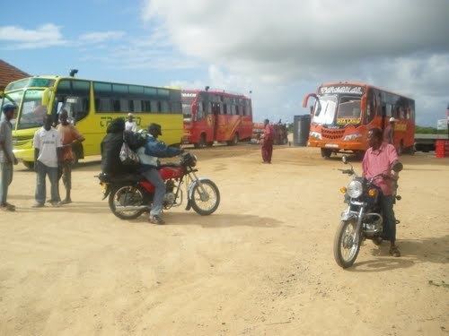 | ||
Mokowe is a settlement in Kenya's Lamu County in what was previously Coast Province.
Contents
Map of Mokowe, Kenya
Location
It is located on the Garsen–Witu–Lamu Highway, approximately 120 kilometres (75 mi), east of Garsen. It is the last town on your way to the Mokowe Jetty, about 3.5 kilometres (2 mi) away, from where boats leave for Lamu Island and the rest of the Lamu archipelago. The coordinates of Mokowe are 2°14'12.0"S, 40°51'18.0"E (Latitude:-2.236663; Longitude:40.854991).
Overview
The main health facility is Mokowe Health Centre. The town also has a post office, a police station, a branch of Kenya Commercial Bank and a branch of Postbank Kenya.
References
Mokowe Wikipedia(Text) CC BY-SA