Country Canada Elevation 1,310 m Population 80 (2011) | Time zone MST (UTC-7) Area 136 ha Local time Monday 5:48 AM | |
 | ||
Weather -8°C, Wind SW at 6 km/h, 61% Humidity | ||
Mountain View is a hamlet in Alberta, Canada within Cardston County. It is located along Highway 5 approximately 25 kilometres (16 mi) west of Cardston and 20 kilometres (12 mi) east of Waterton Lakes National Park near the United States border.
Contents
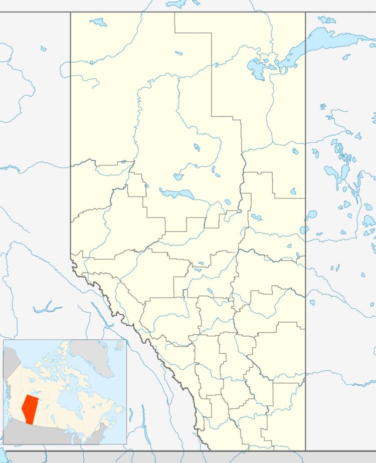
Map of Mountain View, AB, Canada
The hamlet is located in census division No. 3 and in the federal riding of Medicine Hat—Cardston—Warner. It is administered by Cardston County. It was originally named Fish Creek and named Mountain View in 1893.
Demographics
As a designated place in the 2016 Census of Population conducted by Statistics Canada, Mountain View recorded a population of 90 living in 29 of its 38 total private dwellings, a change of 7001125000000000000♠12.5% from its 2011 population of 80. With a land area of 1.27 km2 (0.49 sq mi), it had a population density of 70.9/km2 (183.5/sq mi) in 2016.
As a designated place in the 2011 Census, Mountain View had a population of 80 living in 32 of its 38 total dwellings, a 300% change from its 2006 population of 20. With a land area of 1.36 km2 (0.53 sq mi), it had a population density of 59/km2 (152/sq mi) in 2011.
