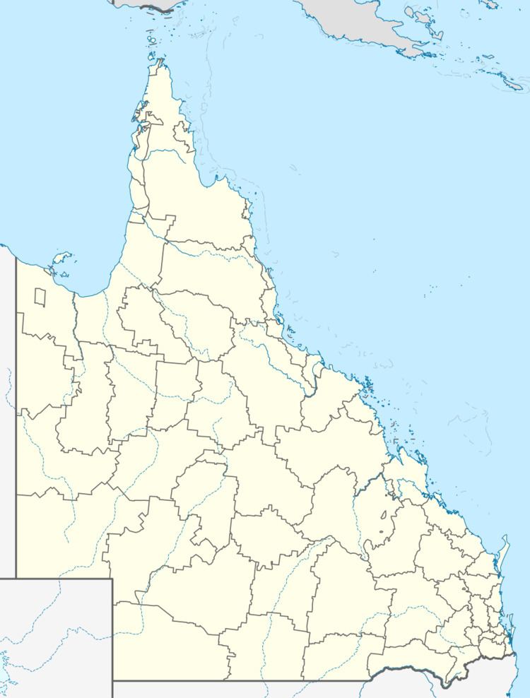
Postcode(s) 4804 Postal code 4804 | ||
 | ||
Location 84 km (52 mi) SW of Collinsville162 km (101 mi) SW of Bowen223 km (139 mi) WSW of Proserpine1,246 km (774 mi) NNW of Brisbane | ||
Mount Wyatt is a mountain and locality in the Whitsunday Region, Queensland, Australia.
Contents
Map of Mount Wyatt QLD 4804, Australia
Geography
Mount Wyatt is a largely undeveloped and sparsely populated area. There are large areas of mining exploration permits in the southern part of the locality. The Burdekin Dam is on the western boundary of the locality. The Suttor River which flows into the Burdekin Dam forms the south-western boundary of the locality; the Sellheim River flows through the south-western part of the locality into the Suttor River. The Burdekin River (upstream from the dam) forms the north-western boundary; the Bowen River flows through the northern part of the locality into the Burdekin River.
Heritage listings
Mount Wyatt has a number of heritage-listed sites, including:
References
Mount Wyatt, Queensland Wikipedia(Text) CC BY-SA
