
Elevation 1,663 m | Topo map USGS Mount Wilson Prominence 977 m | |
 | ||
Similar Fortification Hill, Miller Peak, Humphreys Peak, Mount Graham | ||
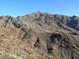
Mount Wilson is a mountain in Mohave County, Arizona, U.S. At 5,456 feet (1,663 m), it is the second highest point of the Black Mountains after Mount Perkins.
Map of Mt Wilson, Arizona 86443, USA
References
Mount Wilson (Arizona) Wikipedia(Text) CC BY-SA